Property Record
7889 Astoria Rd, Millington, TN 38053
NEARBY LISTINGS FOR SALE OR LEASE
-
-
View all Millington listings for sale on LoopNet.com
Property Detail
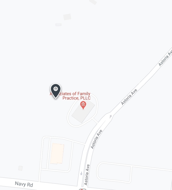
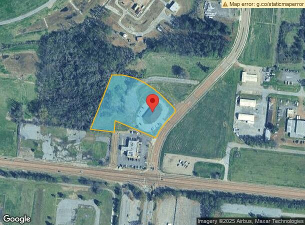
7889 Astoria Rd
Memphis, TN-MS-AR
West Tennessee Regional Business Center
M0-115-0-0954
WS ASTORIA ROAD
Medicalbuilding
Shelby
X
Tennessee
47157C0160G
6
2023
3.08 AC
2024
North
020400
Memphis
6,380 SF
DEMOGRAPHICS near 7889 Astoria Rd
1 Mile
3 Mile
5 Mile
2024 Total Population
847
11,231
21,035
2029 Population
828
11,042
20,816
Pop Growth 2024-2029
(2.24%)
(1.68%)
(1.04%)
Average Age
37
40
40
2024 Total Households
343
4,510
8,096
HH Growth 2024-2029
(2.04%)
(1.75%)
(1.17%)
Median Household Inc
$50,500
$51,032
$57,607
Avg Household Size
2.30
2.40
2.50
2024 Avg HH Vehicles
2.00
2.00
2.00
Median Home Value
$317,647
$172,807
$190,921
Median Year Built
1967
1970
1978
Nearby Places
- Restaurants
- Banks
- Shops
- Fitness
- Groceries
PUBLIC TRANSPORTATION
AIRPORT
Memphis International
DRIVE
WALK
Distance
Memphis International
39 min
27.5 mi
Freight Ports
Port of Shreveport
DRIVE
WALK
Distance
Port of Shreveport
421 min
386.0 mi
Nearby Properties
Address
Land Use
TOTAL SIZE
Lot Size
Zoning
Address
Land Use
TOTAL SIZE
Lot Size
Zoning
1,534.16 AC
MT
Address
Land Use
TOTAL SIZE
Lot Size
Zoning
619.59 AC
M-2
Address
Land Use
TOTAL SIZE
Lot Size
Zoning
150,026 SF
13.73 AC
B-2
Address
Land Use
TOTAL SIZE
Lot Size
Zoning
202,614 SF
19.78 AC
P-C
Address
Land Use
TOTAL SIZE
Lot Size
Zoning
107,077 SF
10.98 AC
P-C
Address
Land Use
TOTAL SIZE
Lot Size
Zoning
105,516 SF
11.74 AC
R-4
Address
Land Use
TOTAL SIZE
Lot Size
Zoning
22,232 SF
10.55 AC
R-4
Address
Land Use
TOTAL SIZE
Lot Size
Zoning
62,477 SF
1.60 AC
B-2
Address
Land Use
TOTAL SIZE
Lot Size
Zoning
148,903 SF
13.81 AC
P-C
Address
Land Use
TOTAL SIZE
Lot Size
Zoning
38.70 AC
M-1
Address
Land Use
TOTAL SIZE
Lot Size
Zoning
105.50 AC
M-1
Address
Land Use
TOTAL SIZE
Lot Size
Zoning
29,181 SF
2.68 AC
B-2
Address
Land Use
TOTAL SIZE
Lot Size
Zoning
26,350 SF
4.08 AC
P-C
Address
Land Use
TOTAL SIZE
Lot Size
Zoning
34,186 SF
2.54 AC
B-2
Address
Land Use
TOTAL SIZE
Lot Size
Zoning
27.73 AC
M-2
Address
Land Use
TOTAL SIZE
Lot Size
Zoning
184.12 AC
M-2
Address
Land Use
TOTAL SIZE
Lot Size
Zoning
347.69 AC
M-2
Address
Land Use
TOTAL SIZE
Lot Size
Zoning
47,152 SF
7.82 AC
R-4
Address
Land Use
TOTAL SIZE
Lot Size
Zoning
76,055 SF
30.92 AC
M-1
Address
Land Use
TOTAL SIZE
Lot Size
Zoning
108,870 SF
12.63 AC
R-0
Address
Land Use
TOTAL SIZE
Lot Size
Zoning
112.50 AC
M-2
Address
Land Use
TOTAL SIZE
Lot Size
Zoning
18,228 SF
4.41 AC
M-2
Address
Land Use
TOTAL SIZE
Lot Size
Zoning
107.61 AC
M-2
Address
Land Use
TOTAL SIZE
Lot Size
Zoning
44,100 SF
6.52 AC
B-2
Address
Land Use
TOTAL SIZE
Lot Size
Zoning
62,621 SF
4.15 AC
P-C
Address
Land Use
TOTAL SIZE
Lot Size
Zoning
172.28 AC
M-2
Address
Land Use
TOTAL SIZE
Lot Size
Zoning
26,720 SF
2.52 AC
P-C
Address
Land Use
TOTAL SIZE
Lot Size
Zoning
20,000 SF
2.35 AC
B-2
Address
Land Use
TOTAL SIZE
Lot Size
Zoning
26,740 SF
6 AC
B-2
Address
Land Use
TOTAL SIZE
Lot Size
Zoning
68,684 SF
6.34 AC
P-C
The World's #1 Commercial Real Estate Marketplace
Connect with us
© 2025 CoStar Group
The information above has been obtained from sources believed reliable. While we do not doubt its accuracy we have not verified it and make no guarantee, warranty or representation about it. It is your responsibility to independently confirm its accuracy and completeness. Any projections, opinions, assumptions, or estimates used are for example only and do not represent the current or future performance of the property. The value of this transaction to you depends on tax and other factors which should be evaluated by your tax, financial, and legal advisors. You and your advisors should conduct a careful, independent investigation of the property to determine to your satisfaction the suitability of the property for your needs.